
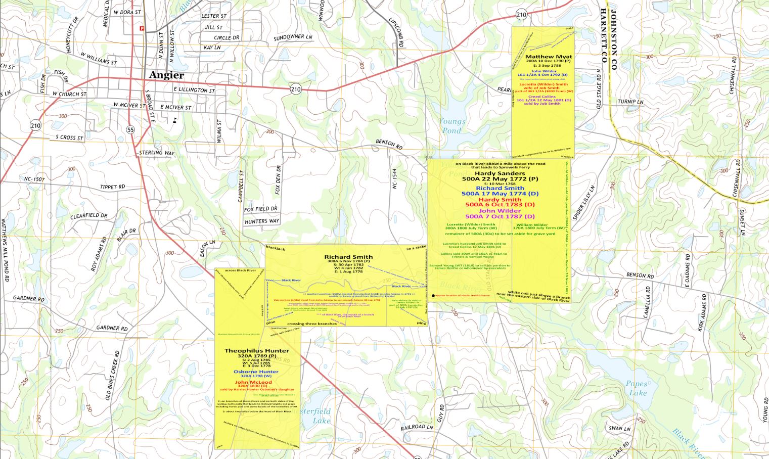
The next grant to plot is by Theophilus Hunter. This will help tie the start point for these plots together.
The entry for this grant was made on 3 December 1778, which described the land as 320 acres lying on the branches of Buies Creek and on both sides of the Widow Cutts path that leads to Richard Smith’s old place including the horse pen and some of the head of the branches of Black River. This entry was made about 4 months after Richard Smith made is entry of 300 acres.
The warrant for this grant was issued on 5 July 1785 and the survey conducted on 2 August 1785.
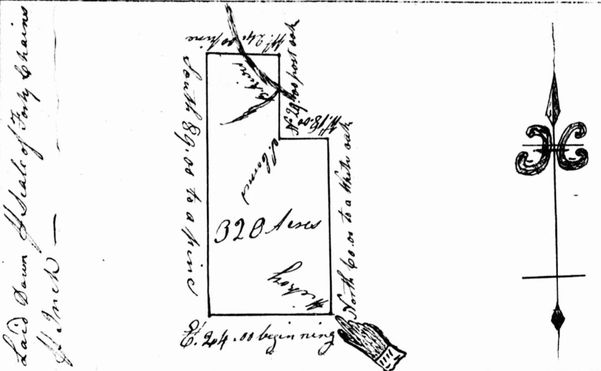
The survey described the tract as lying about two miles below the head of Black River beginning at a hickory on the ridge below the path that leads from Stephens to Smiths. As we see from the survey plot, it shows that the northern piece of the tract is on either side of the Black River.
Theophilus willed this property to his son Osborne Hunter in 1798. Theophilus’ second wife was Jane Smith, her father was Samuel Smith Sr. Theophilus was also an adjacent property owner to Samuel Smith Sr in Johnston County on Middle Creek.
Osborne was a child of the union with Jane. Osborne was born in 1772 and dying about 1810. His daughter Harriet Hunter sold this tract to John McLeod in 1830. Harriet married Alvin Smith who is the grandson of Samuel Smith Sr and son of Samuel Smith Jr.
John McLeod Sr sold 150A of this tract to his son Murdoch McLeod in 1832 and the remaining 170A to his other son John McLeod Jr in 1841.

Leave a comment